Know when to send the plows.
Detailed snowfall forecasts sent to your dispatchers, and live airport accumulation totals sent while the storm is active. Tailored for commercial snow removal contractors across Canada.
Tired of vague public forecasts like "snow starting in the morning"? We monitor official airport runways all night so you don't have to.
Automated Historical Weather Records
Generated daily using 150-year ECCC station-stitched archives.
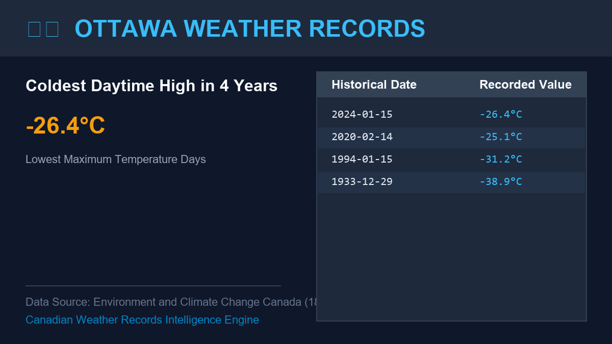
Live streaks posted automatically to r/OttawaWxRecords, Bluesky, Mastodon, and X.
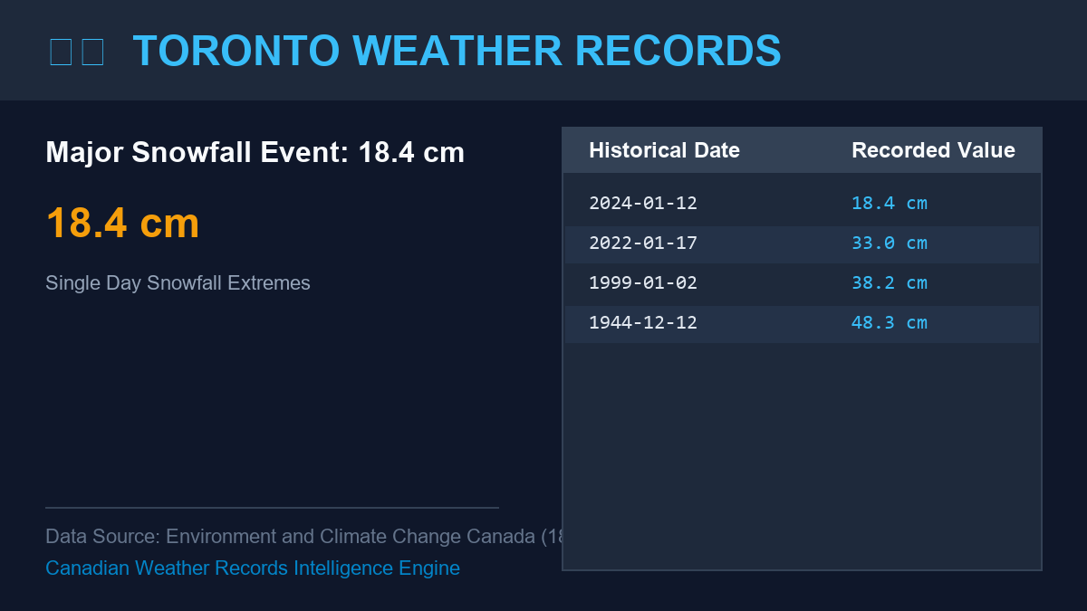
Tracking snowfall thresholds, freezing rain hours, and 180-year monotonic minimums.
What's Included in the Winter Service
Service follows the weather, not the calendar. It starts when the first snow flies and ends when the spring melt finishes.
Daily Snow Forecasts
A daily email whenever snow is on radar, containing exact storm start and end times, expected accumulation ranges, and model-consensus comparisons (HRDPS, RDPS, GDPS).
Live Storm Totals via SMS
Running accumulation alerts sent to fleet dispatchers during the storm, measured directly at your nearest official municipal airport. Never miss a trigger depth.
Forensic Seasonal Logs
Day-by-day and monthly snowfall and freezing rain totals attached to your invoice packets. Certified for defending commercial general liability (CGL) slip-and-fall claims.
Simple, Transparent Pricing
Direct subscriptions for Canadian commercial contractors and fleet operators.
First Year Service
Full winter season coverage for one municipality/airport zone.
Sign Up for $240Extra Location
Add extra airport or municipal dispatch territories.
Multi-city discounts availableReferral Incentive: Receive $100 credit toward next winter's invoice for every contractor fleet referred.
Live Sample Contractor Advisory Format
-------------------------------------------------------------
Storm Window: Sunday 21:00 EST to Tuesday 08:00 EST
Precipitation Phase: Rain transitions to heavy wet snow at 23:00 EST
Expected Snow Accumulation: 12.0 cm to 16.0 cm
Trigger Threshold: Exceeds 5.0 cm threshold at approx 02:30 EST Monday
Risk Alert: Freezing rain risk between 22:00 and 00:00 (approx 2 hrs duration)
Peak Plowing Window: Recommended fleet deployment 03:00 EST to 06:30 EST